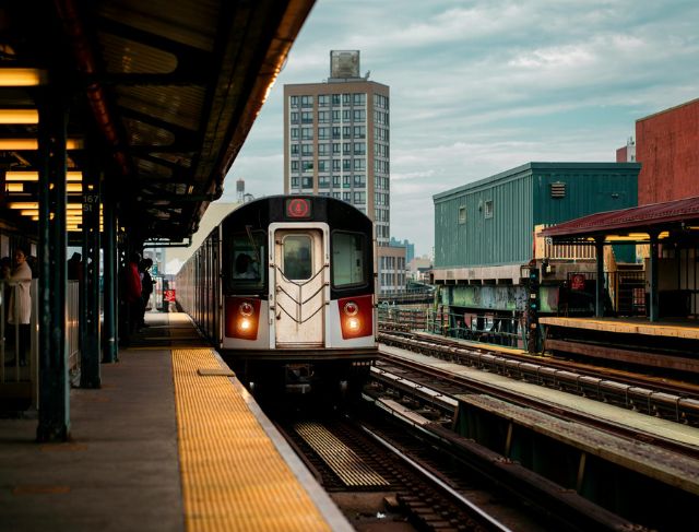

The very first time you use the subway in New York City may leave you feeling as if you’ve just stepped into a huge underground maze; there are trains identified with letters, trains identified by numbers, numerous platforms for passengers to board, thousands of people walking about – all going in every conceivable direction – and there are subway maps that seem like both a great help and a source of confusion. Millions of New Yorkers depend on this transit system every day, but after learning about a few easy ways to navigate the subway you will see it’s easier than you think.
One of the surprises of using the subway isn’t the size of it, but actually the age of it; there was construction of the first line over 100 years ago, and at that time there were several independently owned and operated subway companies constructing their own systems within New York City, and over time those different systems came together to form today’s extensive transit network that spans all five boroughs of New York City, has hundreds of different stations, and has hundreds of miles of subway track.
That long history of the subway system has enabled a lot of things to still be in place today that may seem odd or illogical to you.
You may have observed that different train lines are labeled differently: some use numbers, while some use letters. The inconsistency in train labels arises from the fact that different subway systems initially built different sections of the same overall subway network; all of those systems eventually merged into one system but the ways the lines were labeled have remained intact.
Once you understand how the routes operate, viewing the train lines on the subway route map will become easier to understand as you gain familiarity with them. The next thing you will learn about the subway system is actually one of the most important things to learn about the subway system before you ride the subway: the difference between local and express trains.
Local trains make stops only at each train station along their respective routes; express trains do not stop at every station, and instead, skip several stops to get to the main stops in a shorter amount of time. For those who are riding for a long distance in Manhattan, or between boroughs, taking an express train instead of a local train can save you a significant amount of time.
The good news is that the signs at the stations will help you figure out which trains are local vs. express.
All of the signs are digital or electronic and provide information about whether the next train is an express or local train. Once you have taken a few trips on the subway, you will be able to easily tell if a train you are waiting to board will be an express or local train.
Many visitors get confused between “Uptown” and “Downtown.”
Unlike many other cities that designate their subway entrances simply by looking at their relative position (approximately a North/South/East/West axis), New York City subway entrances frequently designate their directions instead.
One way to help you know exactly what the location of your destination is before you get on the subway is to find out the geographical location of your destination prior to your arrival to the subway station. Not all subway stations allow for underground transfers from one subway line to the other.
If you choose the wrong subway entrance, you’ll need to come out of the nearest subway station, walk across the street, and then pay for a new fare if you purchased the correct fare type.
By checking a city map prior to going underground, you will avoid these types of problems.
Another helpful habit is to review the next station immediately upon entering a subway car.
If the next stop is consistent with your original desired train route, you are on the correct train. If you are not on the correct train, it will be much easier to make the change to the correct subway train with just one stop than realizing later that you have gone three-quarters of the way across the city while on the incorrect subway train.
Even people who have lived their entire lives in New York City will sometimes make a mistake.
Therefore, do not feel embarrassed about stopping and taking time to look at the New York City subway map for a few minutes. The subway system is very large, and many people have made that mistake at least once.
Manhattan subway services have uneven distribution of passengers based on their location in the city.
Traveling north to south is quite easy because of the north-south alignment of most subway lines; however, traveling east to west generally takes longer because of the limited number of routes that run through the middle of the island.
In many instances, taking a bus may be the quickest option when making shorter trips from the east side to the west side of Manhattan due to the absence of direct subway access in areas surrounding Central Park and other neighborhoods.
Planning your trip can save you considerable time and effort.
If you’re a visitor to New York, you have two main options for paying your fare:
You can pay for each subway ride separately or purchase unlimited use passes for a certain period of time. For example, if you plan to spend multiple days in New York city and you plan to visit various neighborhoods daily, then purchasing unlimited use passes normally gives you much better overall value.
The subway is often much less expensive than using a taxi or rideshare every time you go somewhere.
This is one of the reasons so many New Yorkers rely heavily on the subway system.
The same transit card that you use on the subway can also be used for city buses making it more convenient to reach places that don’t have direct access by subway.
Discovering Roosevelt Island is another great travel perk most visitors miss.
Enjoy breathtaking views of the New York City skyline just by using the aerial tramway across the East River, which costs no more than a New York City subway ride.
If riding the Staten Island ferry on your way to Staten Island, don’t be fooled by people selling tickets or claiming they work on the ferry. You can just walk right up to the terminal and get aboard when it gets to your turn to go.
Thank to technology, traveling around New York City has become much easier than ever before.
There are now real-time transit apps that tell you the time of arrival at each subway station, what train your taking is experiencing issues, and if there are any detours due to construction. You also can use mapping applications on your phone to determine where to go using the subway in no time at all and figure out which subway transfer locations, or closed subway stations, to avoid in your travels.
This is especially helpful if traveling on weekends or later during nighttime; during this time many repairs to the subway system create delays and cause considerable changes to normal schedules for the day.
The New York City Subway system, while sometimes delayed or overcrowded and with old infrastructure, is still one of the best public transportation systems in the world.
On a daily basis, millions of people use the same transit system in one of the busiest cities in the world that has been developing over 100 years.
At first look, this can feel daunting.
But after just a couple trips and seeing the colourful maps, you will quickly recognise the station names and what once was confusing will soon become efficient.
Knowing how to use the subway is an excellent way to experience New York City as if you were a local rather than a tourist.